A Cloud Gazer’s Guide to Every Fluffy Thing in the Sky
Clouds are “a wilderness within everybody’s grasp.”
Having your head in the clouds can be a wonderful way to spend an afternoon. ALL ILLUSTRATIONS: KRISTEN BOYDSTUN FOR ATLAS OBSCURA
If you have been hunkered down at home for several weeks, you may miss the sight of crashing waves, the smell of a damp forest or spring flowers, the happy ache in your legs as you tromp up a steep trail, or the sound of voices drifting across picnic blankets in a crowded park. If you wear a mask when you venture out, you might even miss something as simple as the feeling of the wind on your cheeks. There are still ways to stay tethered to the natural world in the time of social distancing, but it’s not quite the same as being out there.
But wherever you are, you can still look out the window and up at clouds. They’re always up there, from Mongolia to Manhattan. The sky “is a wilderness within everybody’s grasp,” says Gavin Pretor-Pinney, founder of the Cloud Appreciation Society. “It’s the part of nature that comes to us.” Here are a few ways to marvel at and identify the meteorological mainstays and what they mean—anytime, anywhere.
Decide on a strategy
There are two main ways to approach cloud-watching, Pretor-Pinney says. One is “dreamy” and the other is “the more geeky way of doing it.” He recommends trying both.
The first approach is wistful—picture propping your chin against your hand and watching shapes drift across the sky. It’s a bit of a “meteorological meditation moment,” Pretor-Pinney says. “You’re not going to be worrying too much about what formation it is and why it looks the way it does.” It is an invitation to be awed by “something so common, everyday, and mundane that we’ve become blind to it. It’s an exercise in bringing to the foreground what’s generally in the background.” At a time when many people are spending nearly every waking hour stooped over phones or computers, there’s value, he says, in pulling our eyes up to the sky, above our worries, and simply “reminding us that we aren’t the center of the world.”
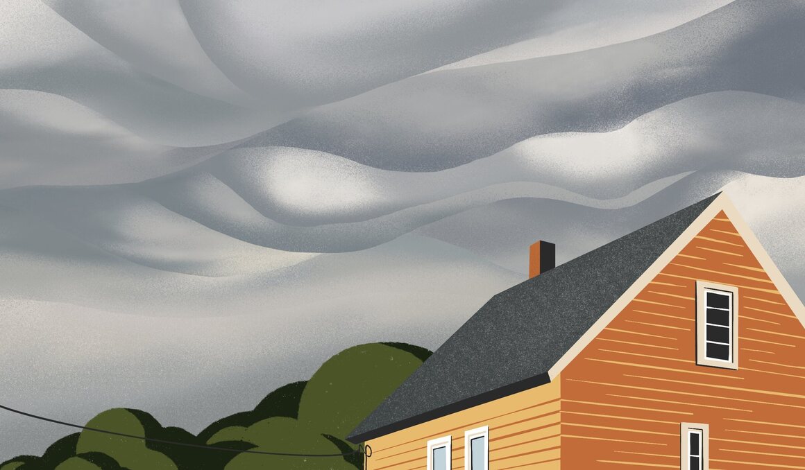
The other approach is more about trying to make sense of the sky. If you want to name what you see, brush up on the cloud types that you might vaguely remember from elementary-school science. Cirrus, cumulus, and stratus clouds were classified in 1802 by Luke Howard, an English pharmacist and meteorology buff. Since then, many more cloud types have been recorded—10 regulars at various altitudes, and then a handful of wildcards. And new classifications are still emerging. A little more than a decade ago, the Cloud Appreciation Society proposed a new cloud type, asperitas, marked by turbulent shapes that look like upside-down waves. Now they’re official: Asperitas is in the World Meteorological Association’s International Cloud Atlas. The National Oceanic and Atmospheric Administration has a visual cloud-type primer for kids that is a solid reference for adults, too.

Carve out a little time
Cloud-spotting is a miniature pause from the rest of your life. “To watch the way a cloud changes is to force you to slow down, because it generally happens at quite a gradual pace,” Pretor-Pinney says. But it needn’t take hours. “You don’t have to spend your whole day walking around gazing at the sky and getting run over by a taxi,” he adds. Maybe set a reminder on your phone to stop and look up at the sky for a minute or so when you’re out walking the dog. “See it, engage with it for a few moments, and then carry on doing your thing,” he adds.
Grab some tools
You don’t need much, but to improve the contrast between the clouds and the rest of the sky, you might want polarized sunglasses. If you’re hoping to identify the clouds, you may want a so-called Cloud Selector, which has a little wheel that spins and allows you to align an image of the type of cloud you see with its name and some facts about it. (The Royal Meteorological Society and National Weather Service both have versions you can print and assemble at home.) The Cloud Appreciation Society’s Cloud-A-Day app also has instructions for identifying dozens of cloud formations and several optical effects.
Figure out what to look for and when
Though you’ll almost always be able to see something, certain cloud formations are more likely to show up at particular places or certain times of year. Pretor-Pinney particularly digs lenticular clouds, which look like flying saucers. He has seen fantastic examples in Minden, Nevada, near the Sierra Nevada, and in craggy Scotland, too. Since lenticular clouds tend to form downwind of mountains or hills, you’re less likely to spot them if you’re surrounded by flat terrain—though it’s not unheard of.
At high latitudes in the Northern Hemisphere, it’s about to be prime time for noctilucent clouds, which are visible at night throughout the summer months. Wavy and wispy and typically blue or silver, they look like special effects from a science-fiction flick. They form in the mesosphere, more than 50 miles above Earth’s surface, typically when ice crystals form on very small pieces of dust left behind by streaking meteors. When you spot them in the sky, you’re seeing evidence of past events, writ large and slightly eerie.
Predict the weather
Long before he was a meteorologist at the National Weather Service office in Grand Rapids, Michigan, Ernie Ostuno suspected that there was a correlation between cirrus clouds and rain. As a kid working on his parents’ farm in Connecticut, where he moved irrigation pipes by hand, he kept an eye on the sky to figure out when a downpour would interrupt their work. “Meteorology has a huge impact on what you do on a farm,” he says—and as a grown-up whose job requires him to forecast the weather, he has seen that childhood hunch borne out: You can indeed predict some things about the weather by studying the clouds.
One way to distinguish fair-weather clouds from storm clouds is to watch how they grow. “If you see little puffy cumulus clouds starting to grow upward, vertically, that could be an indication that there are going to be severe storms,” he says. There’s an old saying about clouds that look like “mare’s tails and mackerel scales” portending rain, and Ostuno says that the adage actually holds water. The whimsical descriptions nod to the appearance of cirrus and altocumulus clouds, the Farmer’s Almanac reports. The sight of them suggests that precipitation could arrive within a day or so, Ostuno adds, because they typically appear ahead of a warm front.

Use your body
You can use your limbs to help make sense of what you see, too. To distinguish between low-hanging stratocumulus clouds (clumpy waves), mid-level altocumulus (cotton balls scattered across the sky), and the higher cirrocumulus clouds (scraps of spilled confetti), use your fingers. Put up your three middle fingers, and then extend your outstretched arm at an angle of around 60 degrees above the horizon. It’s not a perfect science, Pretor-Pinney says: “Everything in cloud-spotting is a gray area, literally.” The gist is, you’re comparing the band of clouds to the width of your fingers. Stratocumulus clouds will be wider than the three and cirrocumulus will be narrower than one, while altocumulus clouds fall in between.
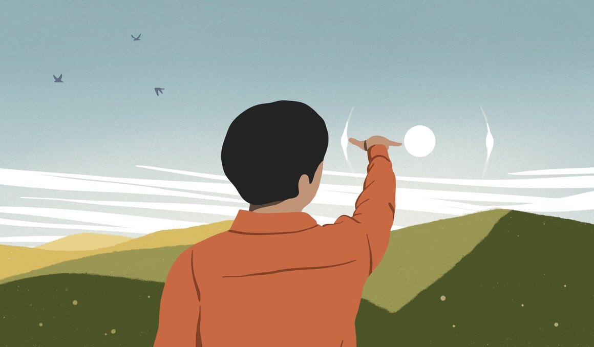
You can also use a raised fist to navigate the sky and find your way to cool optical effects caused by clouds. Take sun dogs, halos that form near the sun when the light refracts through ice crystals. On an evening when you see lots of wispy cirrus clouds, wait until the sun sinks low. Then stretch your thumb and pinky apart and hold it up to next to the sun. You’re looking for reddish spots that almost look like secondary suns that distance away from the sun itself. Those polarized sunglasses might come in especially handy for this.
Cloud-gazing, Pretor-Pinney says, is a way of “being an explorer of the sky, where you don’t have to leave your lockdown space.” The only souvenirs you’ll have will be photos and memories, but in a lonely, uncertain time, it helps to have a little perspective, and see things bigger than us, indifferent to us, he adds: “Seeing something, paying attention to it, and letting it go.”


